Displaying Connecticut's coastal shoreline change over the last 100+ years.
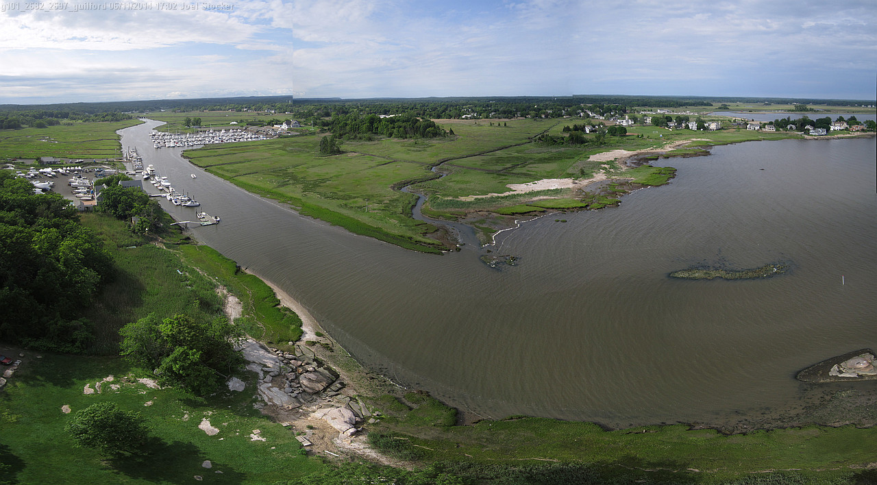
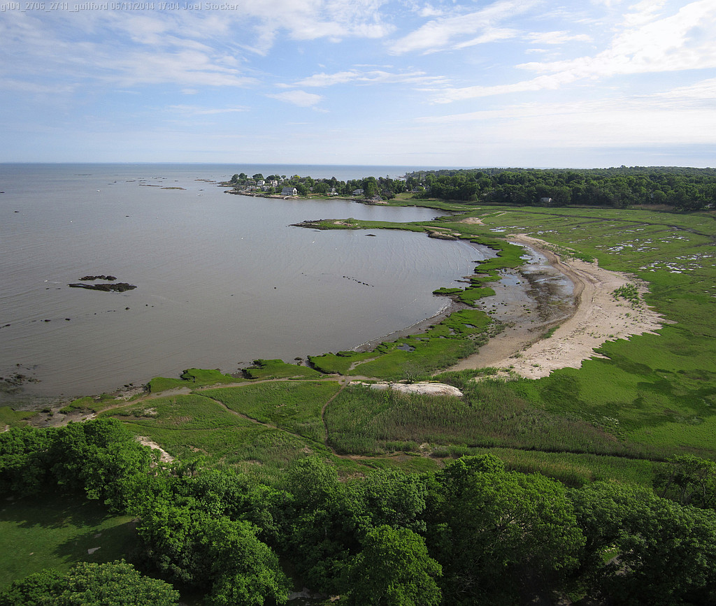
Guilford/Madison Samples:
DSAS = USGS Digital Shoreline Analysis System
Sample Photosynth - an image you can pan and zoom
This may require Microsoft Silverlight plugin.
For iPad or other touch screen devices you may need to use this PhotoSynth Link to get it to pan around.
This page content and some of the links may change. You may have to refresh/reload your browser to view the updates.
Last update 07/21/2014
Joel Stocker, UConn CES
![]()

![]()
![]()